About Cedar Creek Surveying
Wisconsin Surveying & Civil Engineering
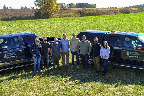
With 19 years of surveying and management experience, BJ Reenders decided to start his own company to serve eastern Wisconsin. Cedar Creek Surveying was started in the spring of 2016 with the goal to bring customer service back to the industry. In 2017 Cedar Creek acquired Technical Assistance Company (TAC) to expand its drafting and mapping capabilities. With the acquisition of TAC, Cedar Creek gained some new municipal clients who we still serve today. Cedar Creek has expanded over the last 7 years to 9 employees. We have grown intentionally to maintain quality in our product and attention to our clients. Cedar Creek’s talented staff offers in house services such as Civil Engineering, Inspection, Surveying, Drafting, Mapping, Drone Imagery, GIS, and many other support services for developers and municipalities. Cedar Creek has a reputation for exceeding client expectations.

Cedar Creek Surveying & Engineering Capabilities
- Topographical Surveying & Mapping
- Subdivision & Right-of-Way Plats
- Certified Survey Maps
- Aerial Drone Imagery & Surface Modeling
- Urban & Rural Roadway Design
- Municipal & Site Civil Engineering
- Watermain, Sanitary Sewer & Storm Sewer Utility Design
- Stormwater Management Plans
- Construction Administration & Observation
- Construction Staking
- As-Built Surveys & Record Drawings
- GIS Mapping & Wall Map Production
- Environmental Permitting
- Review of Developments, Plats & Site Plans
- Industrial & Commercial Park Plans
- Parking Lot Design
- Recreational Trail & Boardwalk Design
- Playground & Park Design
