Municipal Land Surveying & Civil Engineering
- Topographical Surveys
- Street and Utility Design
- Sanitary Sewer Collection Systems
- Water Distribution Systems & Modeling
- Stormwater Management & Facilities Design
- Pavement Management Plans
- Development Reviews
- Capital Improvement Plans
- Regulatory Permitting and Compliance
- Construction Administration & Observation
- Construction Staking
- Utility Mapping and GIS Services
- Easements and Right-of-Way Plats
- Industrial Business Park Design
- Bicycle/Pedestrian Facilities Design/Planning
- Playground & Park Design
- Grant Writing and Funding Administration
- Tax Incremental Financing District Planning
- Annexations
- Cost Estimating
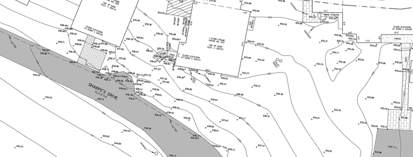
Municipal Topographical Land Survey
Cedar Creek Civil provides accurate base maps (paper and digital) for new buildings, infrastructure, and landscaping, along with a 3D digital elevation model of the existing surface for engineering and volume calculations.

Street and Utility Design
Road reconstruction with utility improvements is our specialty at Cedar Creek Civil. With years of experience, we’ve learned to anticipate common challenges like matching existing elevations and managing drainage. Our attention to detail ensures smooth tie-ins and superior designs. We proactively coordinate with utility companies early to resolve conflicts and prevent costly delays—keeping projects on track from start to finish.
Construction Staking
Cedar Creek Civil lays the foundation for your project's success by accurately staking rough grades, road center lines, underground utilities, final grades, curbing, sidewalks, parking lots, building foundations, and other elements from your construction plans.

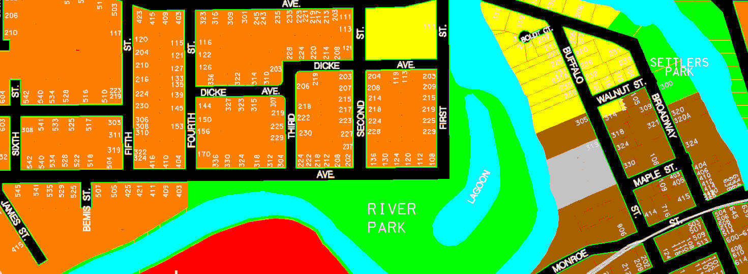
Zoning Wall Maps & Utility Drawings
For municipal mapping and plotting services, please visit Technical Assistance Company, also owned by Cedar Creek Civil.
GIS
We provide utility and base map information, offering shape files for your existing Geodatabase or creating a new GIS for your municipality. Rest assured, our data is collected using survey-grade methods for accuracy, and all attribute data is thoroughly reviewed for quality.
Annexations
Cedar Creek Civil is well versed in legal descriptions and mapping for annexation exhibits. We are familiar with the expectations of the Department of Administration’s review of our annexation exhibits.
Easements & Right-Of-Ways
Whether it is creating new easements and right-of-ways or vacating old right-of-ways, we provide quality maps, exhibits, and legal descriptions for the process. We work with your attorney to draft the language to accompany the easement at recording.
