Residential Land Survey Services
- Subdivision Layout and Plats
- Utility Extension Design
- Condominiums
- Boundary Surveys
- Concept Plans
- Alternatives Analysis
- Permitting
- Site Plans & Earthwork Calculations
- As-Built Surveys
- Value Engineering
Land Divisions & Subdivision Plats
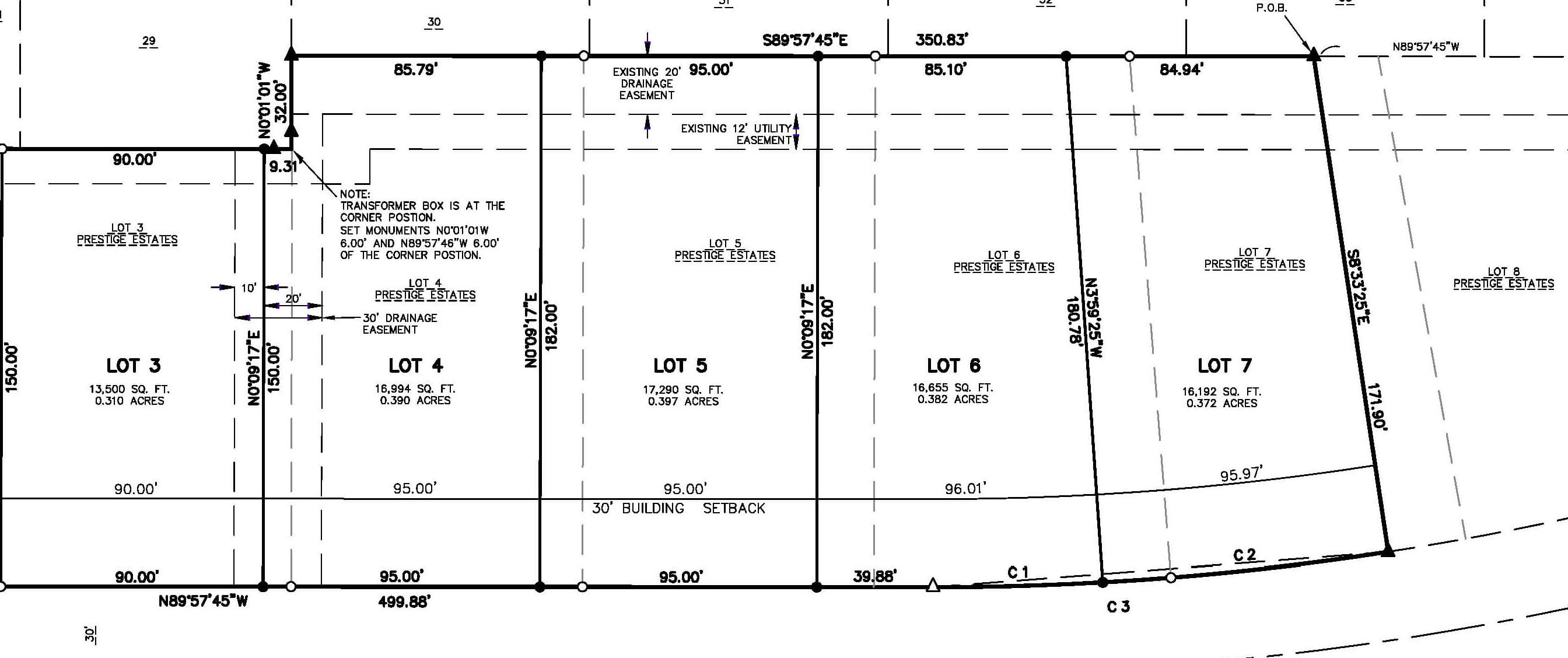
We can provide initial planning and design services to explore the feasibility of subdividing your property. Depending on the size of your property and the number of lots to create, we will propose a Certified Survey Map or a Subdivision Plat.

Subdivision Plats
If there will be more than four resulting lots and the end product is to be a subdivision plat, we will create a topographic map of the site for engineering, and survey the overall boundary. If requested, we will represent the developer at the municipality planning meetings for subdivision approval. We will provide staking for the construction of the grades, roads and utilities for the infrastructure of the subdivision. We will provide final plats for recording and set the final lot corners.
Certified Survey Maps
If you are proposing four or fewer resulting lots, we can in some cases create the land divisions using a Certified Survey Map. The process of creating smaller land divisions using a Certified Survey Map is generally simpler than creating a full subdivision plat. During the initial consultation, we can explore this option for the division of your land. Like the subdivision process, we can work with the governing municipality to obtain approval for the land divisions, provide final plats for recording, and set the final lot corners.

Condominium Plats
Our team can prepare condominium plats needed to create and record condos for divided ownership. We begin with a property boundary survey and then measure the exterior and interior of the building or structures being conveyed in the condominium plats. A site plan and 3D plat are prepared to represent individual units, and common elements being created by the condominium. We will work with your attorney to ensure that the plats are sufficient to work properly with the attorney's declaration.
Topographical Land Survey
We can provide a detailed and accurate base map (paper and digital) for the design of new buildings, infrastructure and landscaping. We also provide a 3D digital elevation model of the existing ground surface for engineering and volume calculation needs.
Property Line Survey
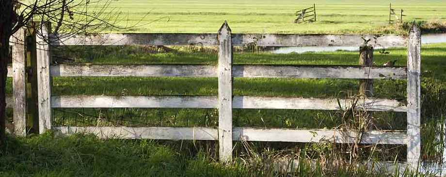
Good fences make good neighbors. Call on us to stake your property corners and property lines prior to building or making other improvements near your property lines. If you are not building a fence and just want to know where your deeded property lines are, we can perform a boundary survey and provide a survey map showing the property lines in relation to existing fences or other features near the property lines.

