HOME > SERVICES
Cedar Creek Surveying Services
COMMERCIAL
- Topographic Land Surveys
- Site Plan Surveys
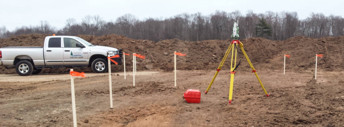
- Construction Staking
- ALTA Surveys
- Laser Scanning
- Digital Elevation Modeling
- Planning & Development Services
MUNICIPAL
- Topographical Land Surveys
- Construction Staking
- Land Divisions
- Subdivision Plats
- Certified Survey Maps
- Zoning Wall Maps
- Utility Drawings
- GIS
- Easements
- Right-Of-Ways
RESIDENTIAL
- Land Divisions
- Subdivision Plats
- Certified Survey Maps
- Condominium Plats
- Topographical Land Surveys
- Property Line Surveys
Layout and Staking Services
- Schools
- Churches
- Hospitals
- Parking lots and parking garages
- Strip malls
- Big box stores (i.e. Target, Meijer, etc.)
- Industrial and warehouse sites
- Residential staking
- Fence staking
- New construction survey
- Property line identification

Easement and Right-of-Way Services
- Electric
- Natural gas
- Water main projects
- Conservation
- Access
- Drainage
Water Treatment Facilities
- Site Staking
- Pier
- Locations
- Monitor
- Well locations
- As-built surveys and drawings
Structural Monitoring
- Pier
- Retaining wall movement


